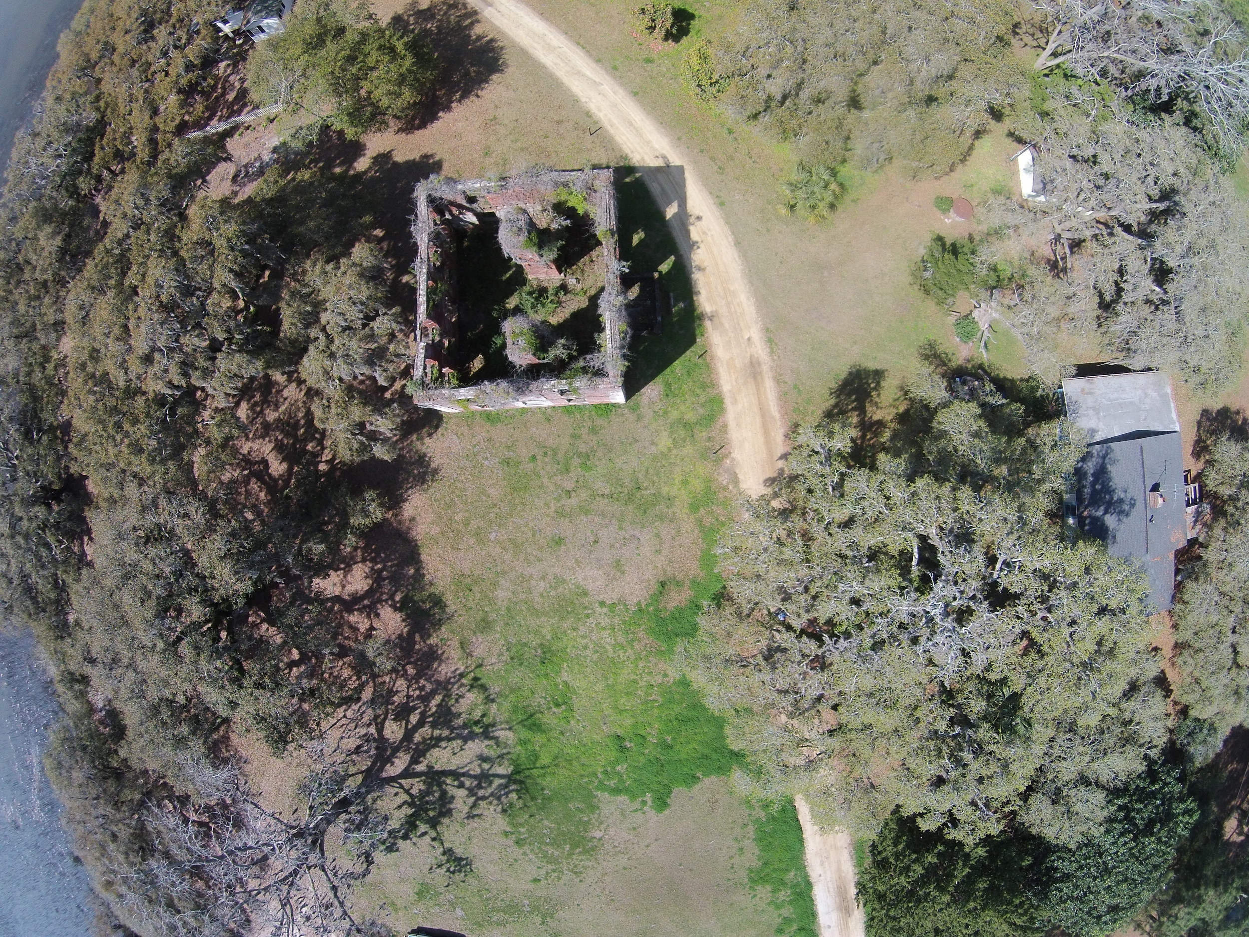
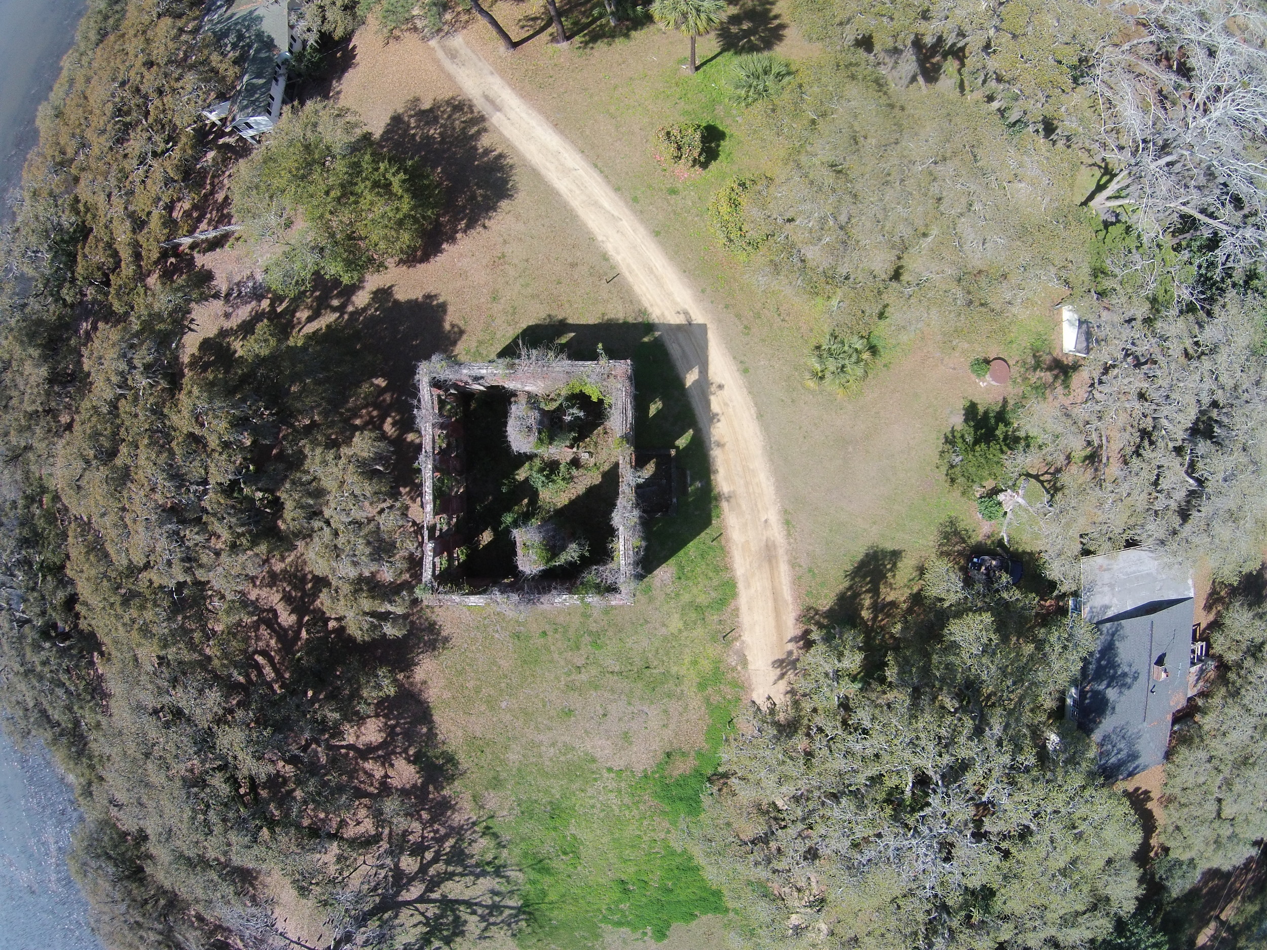
3D Modeling the Brick House Ruins
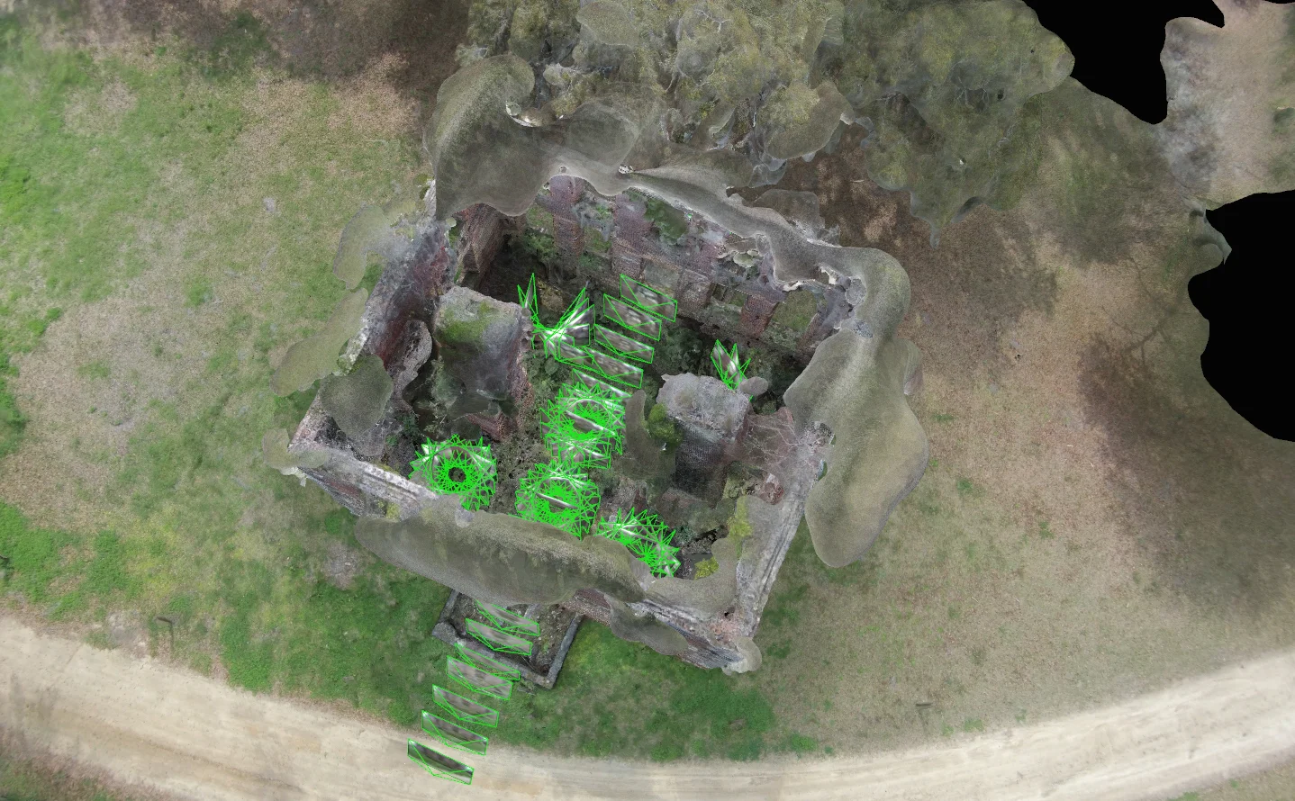
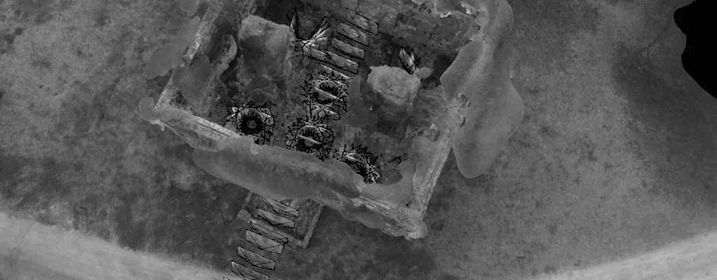
The 3D model seen below was created using a technique called photogrammetry. Differing from alternative methods such as LIDAR, which use lasers to measure distances, photogrammetry is the science of making measurements from photographs. Using lightweight UAVs (Drones) along with other ground based cameras, the experts at Abovit Advanced Aerialography captured 450+ photographs and "stitched" them together to generate a single three dimensional environment.
Click "Play" to Explore.
photometric techniques
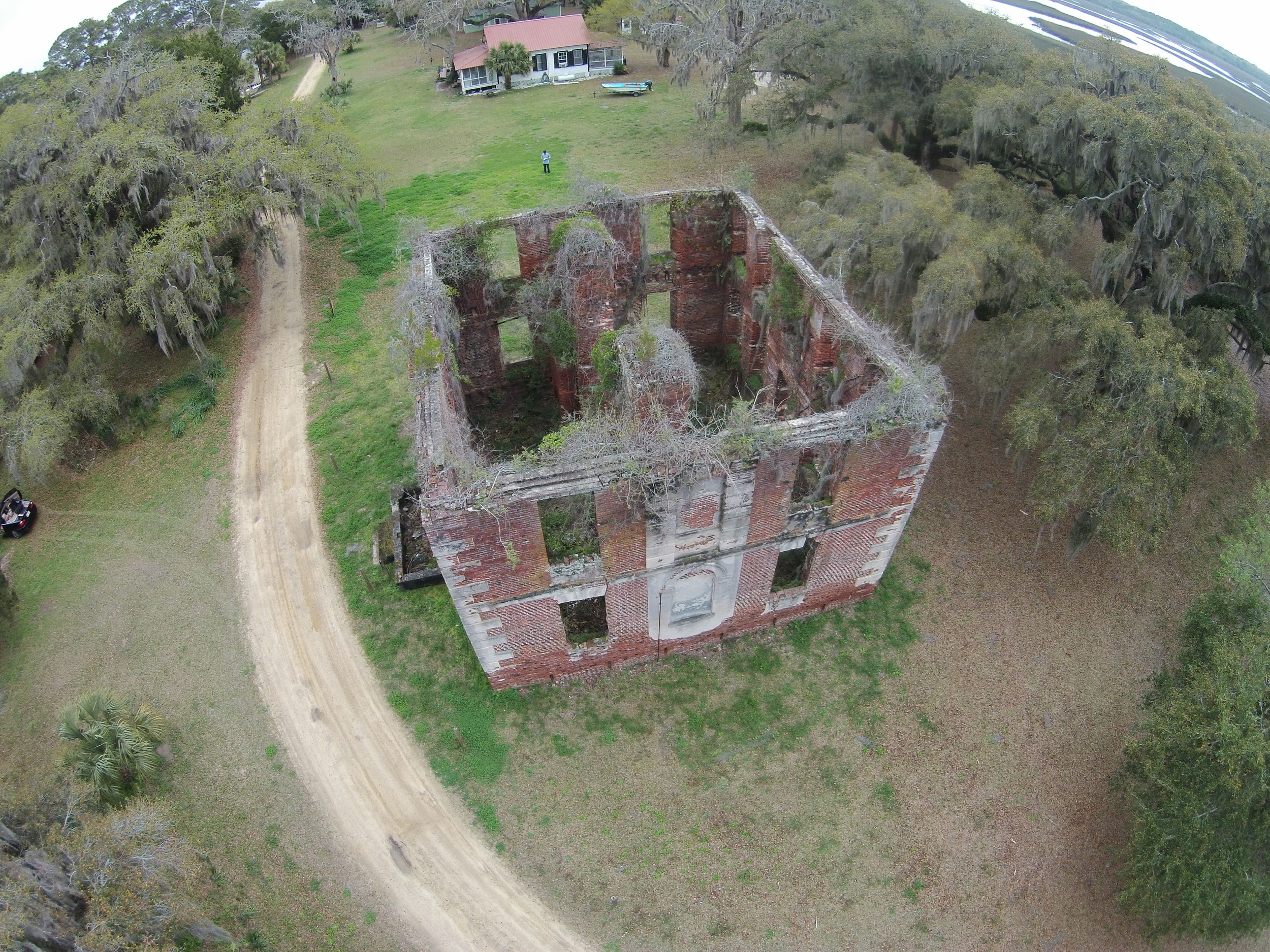
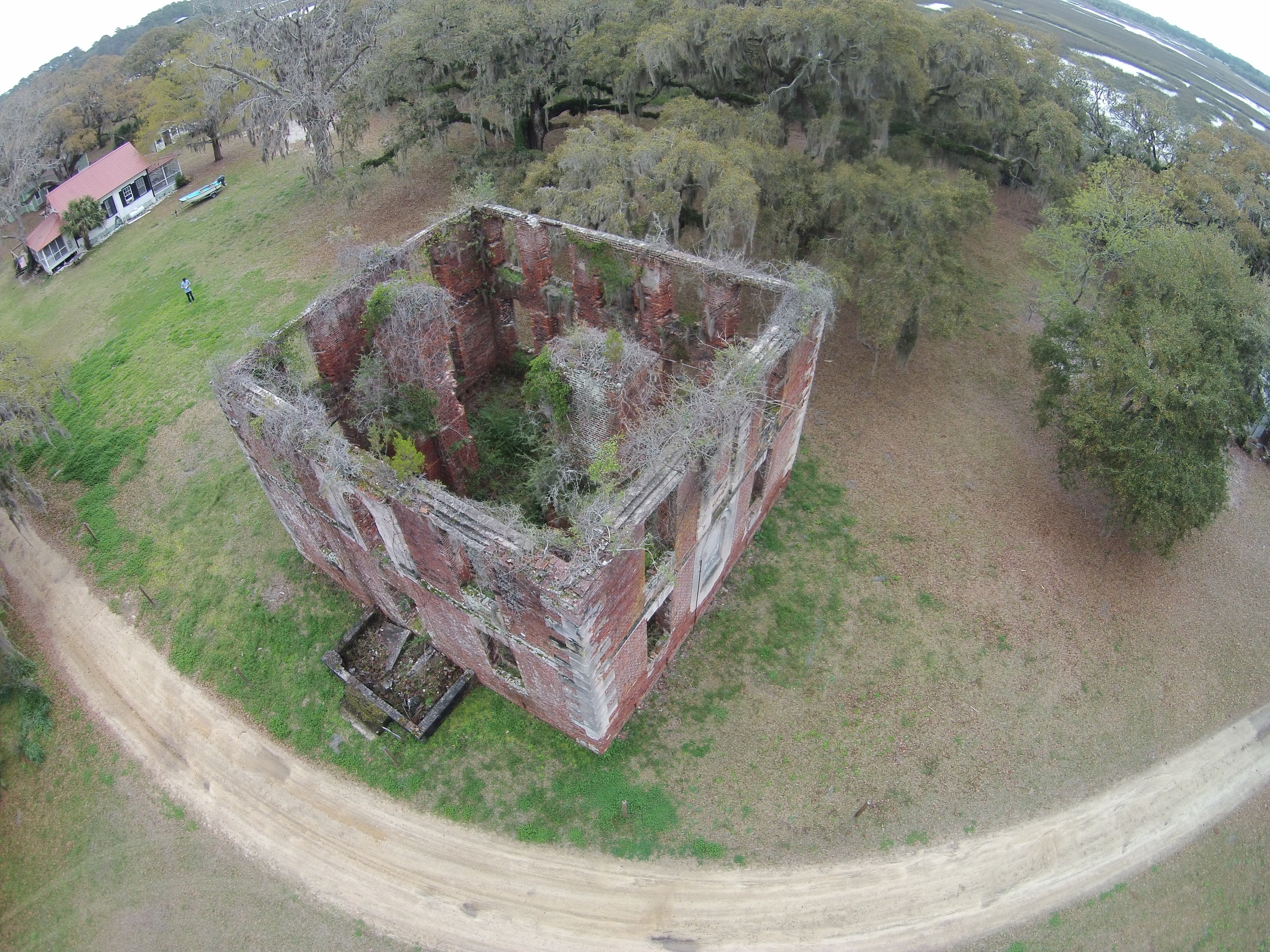
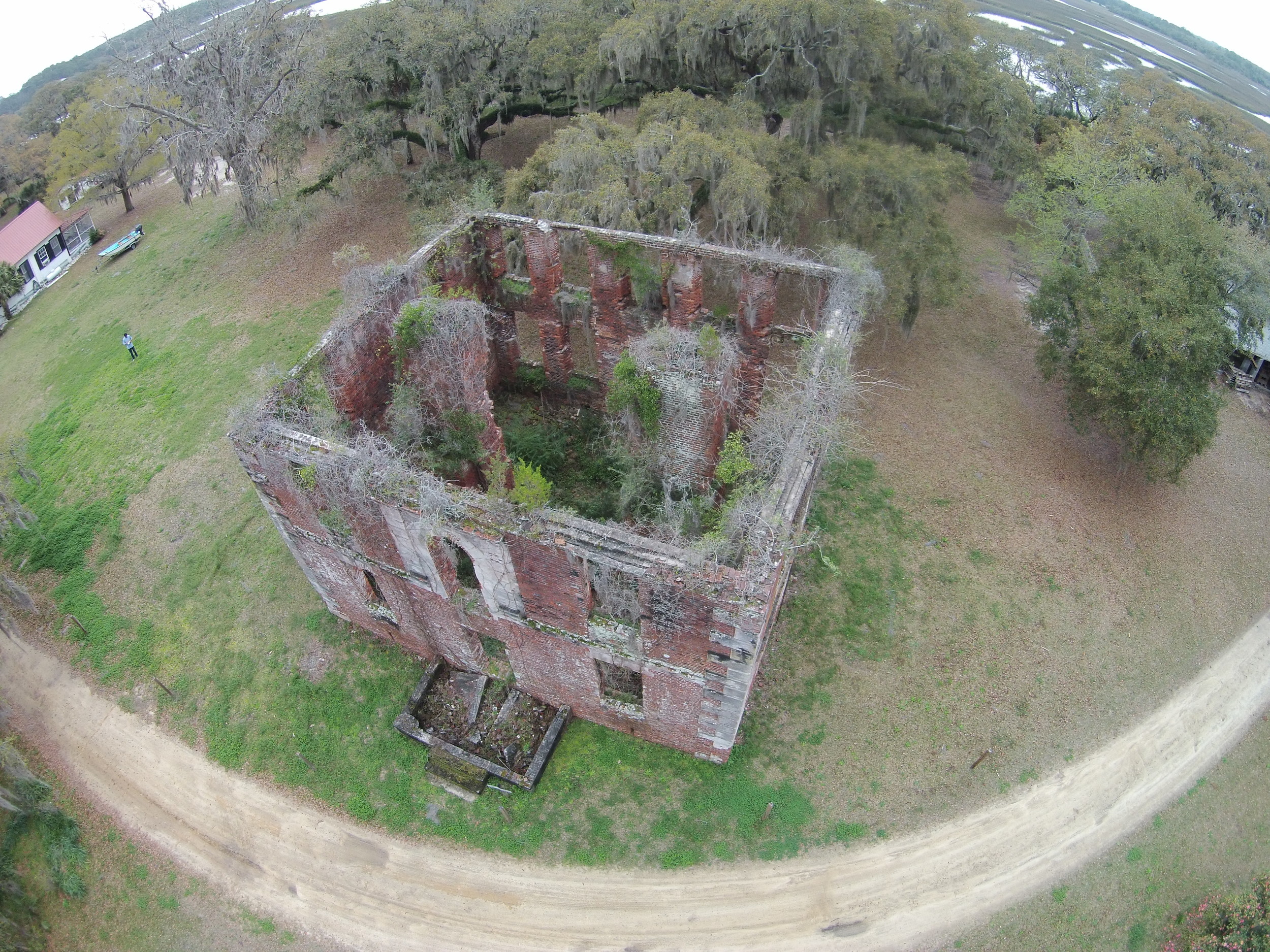
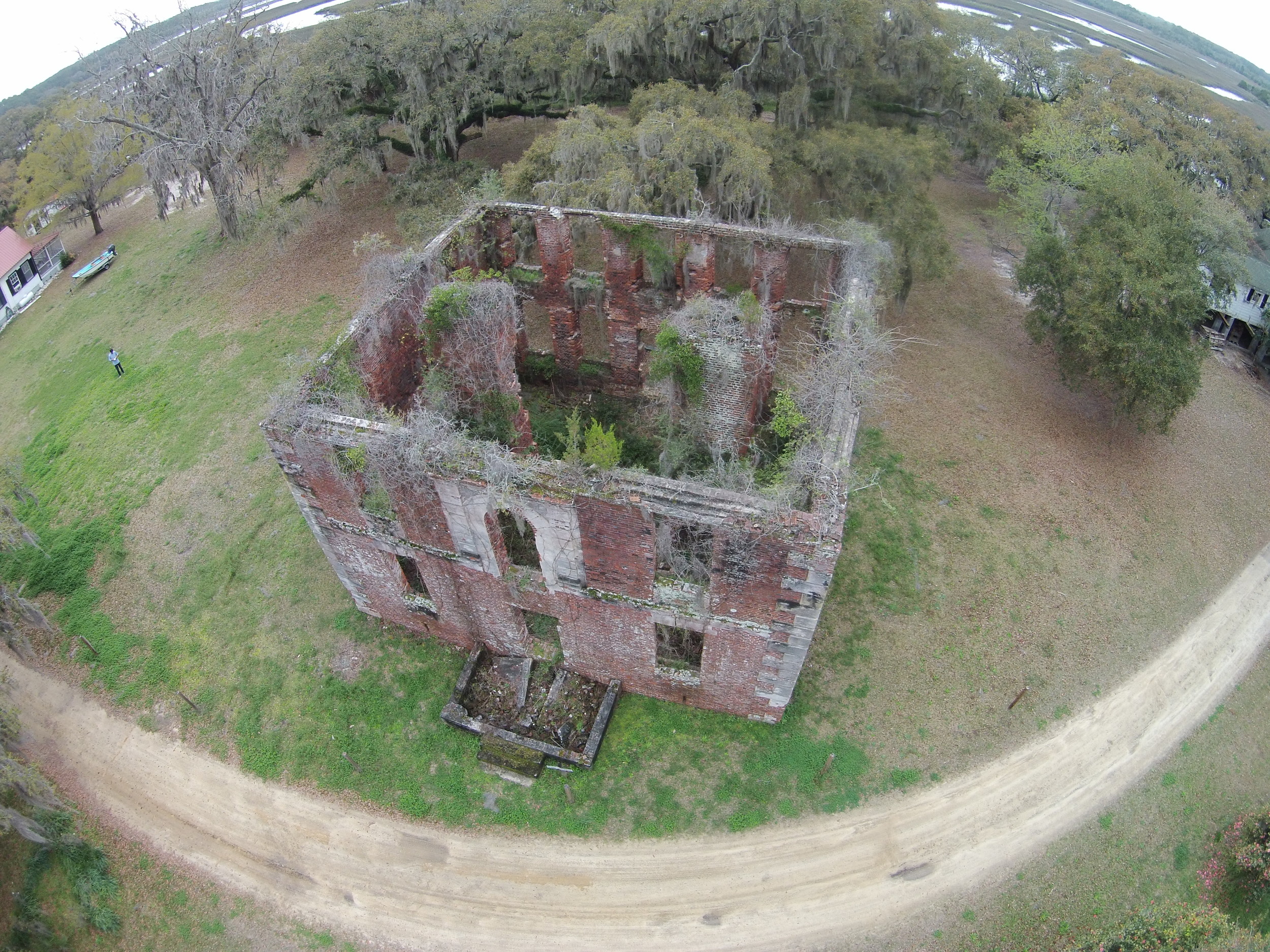
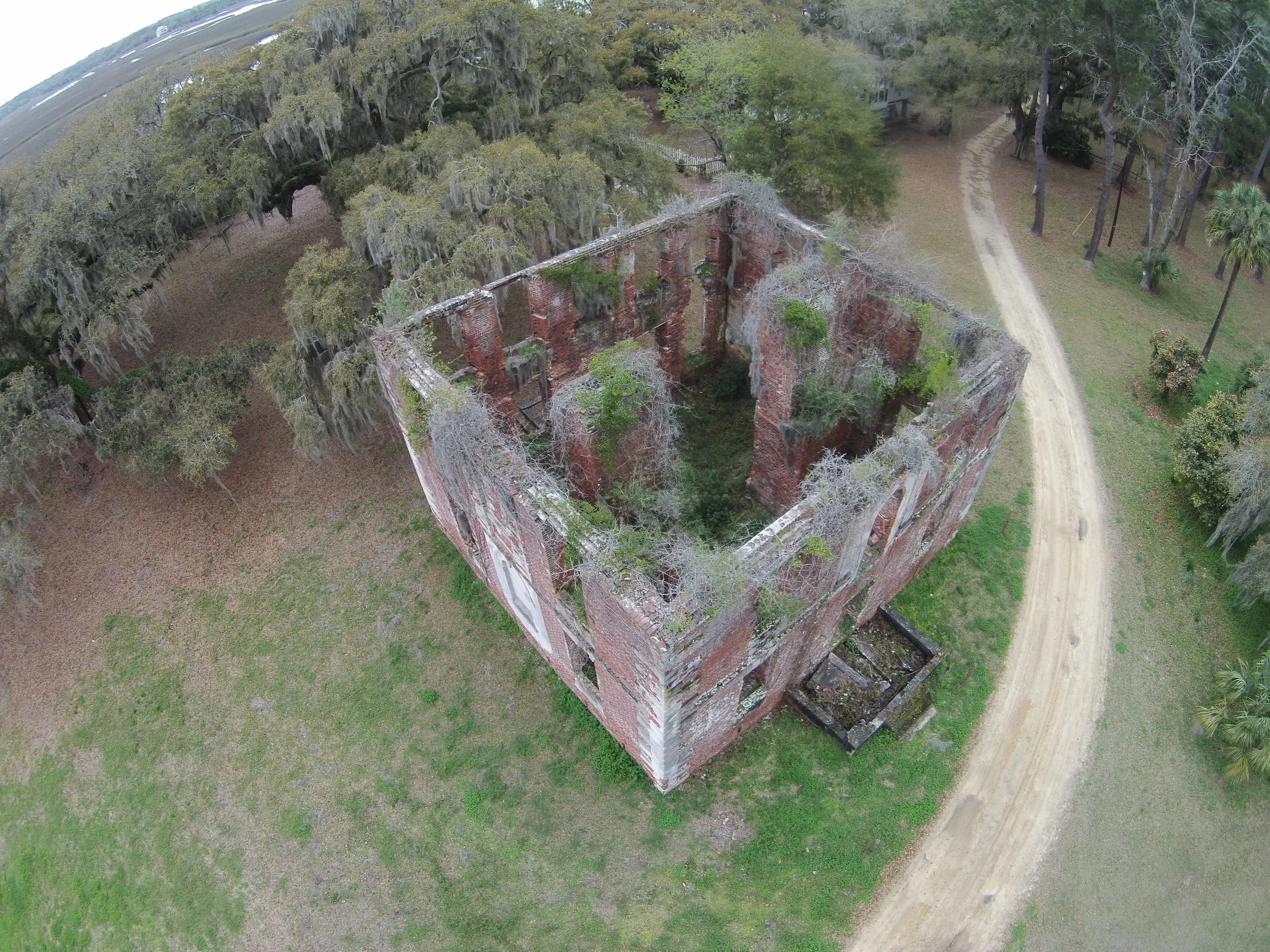
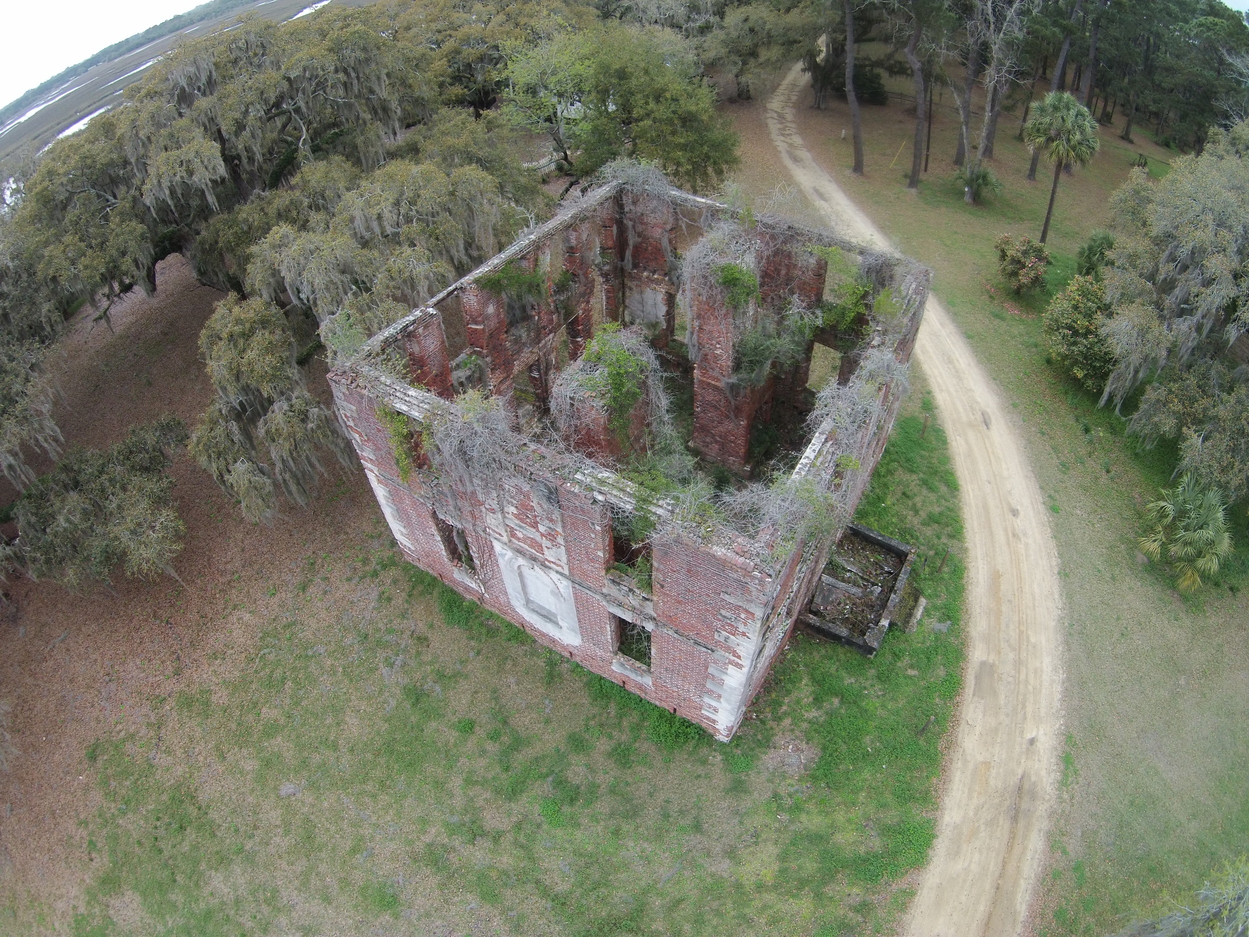
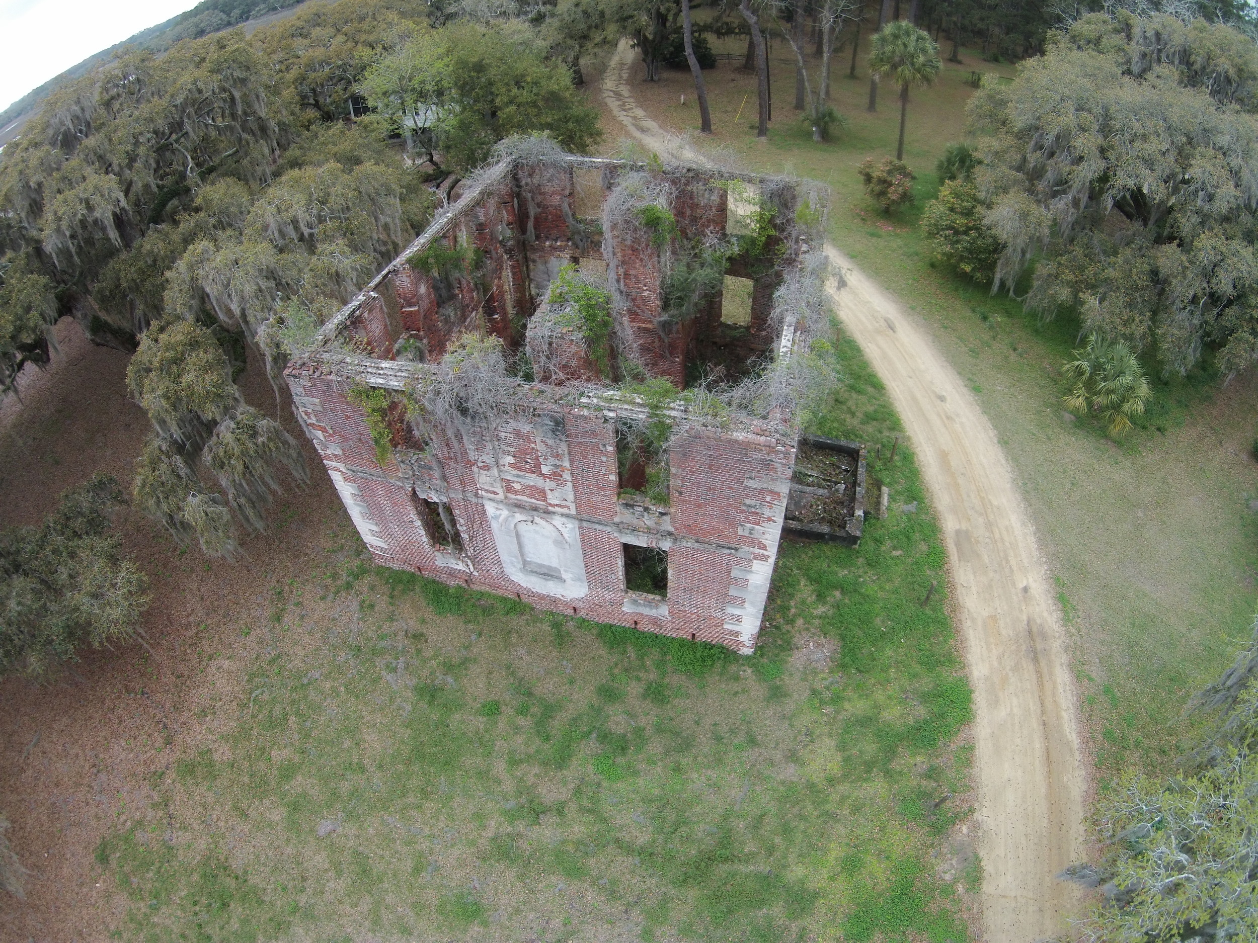
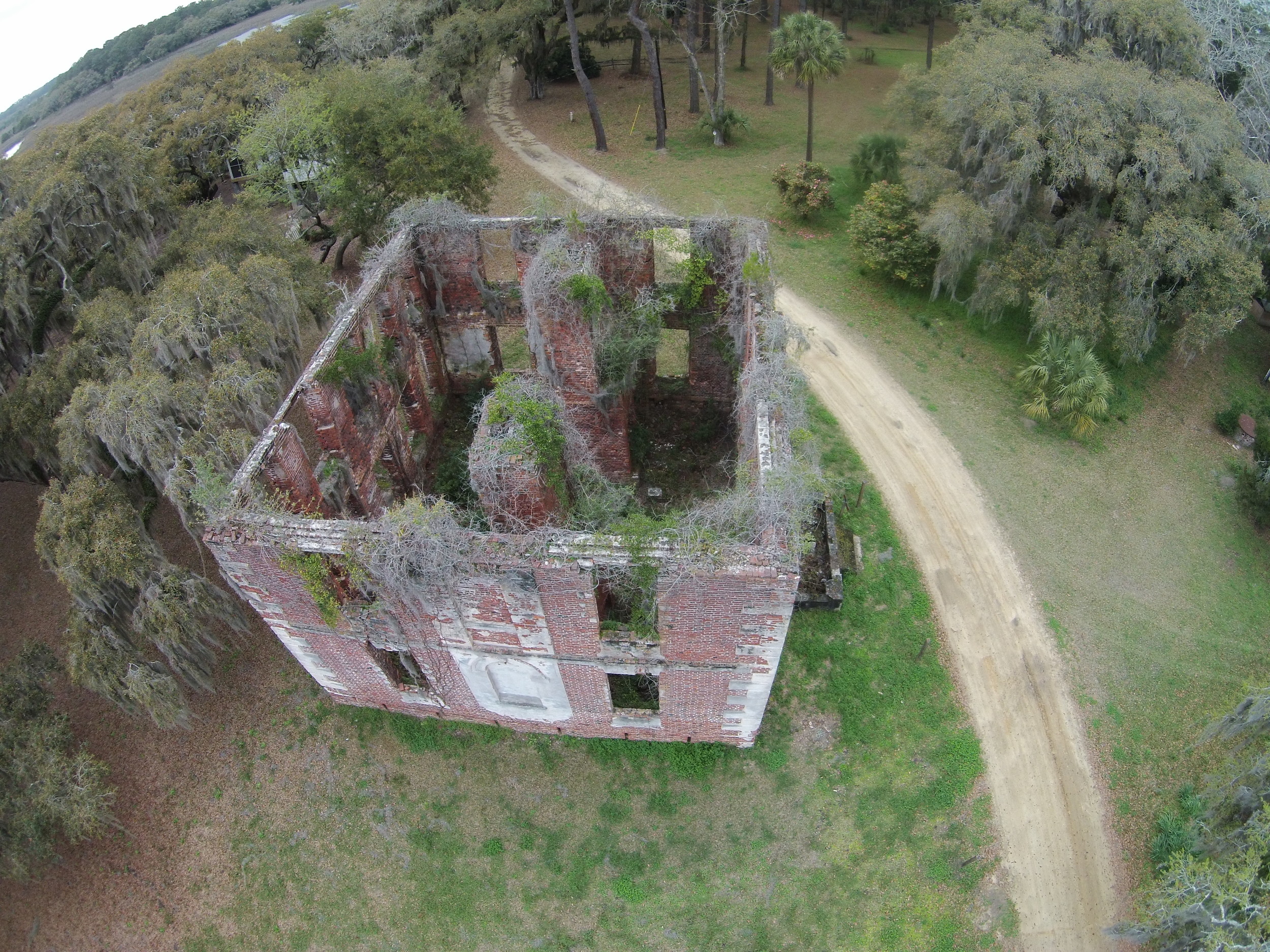
Three photogrammetric techniques were used during the capture phase of the project, Arial Nadir, Oblique and Terrestrial.
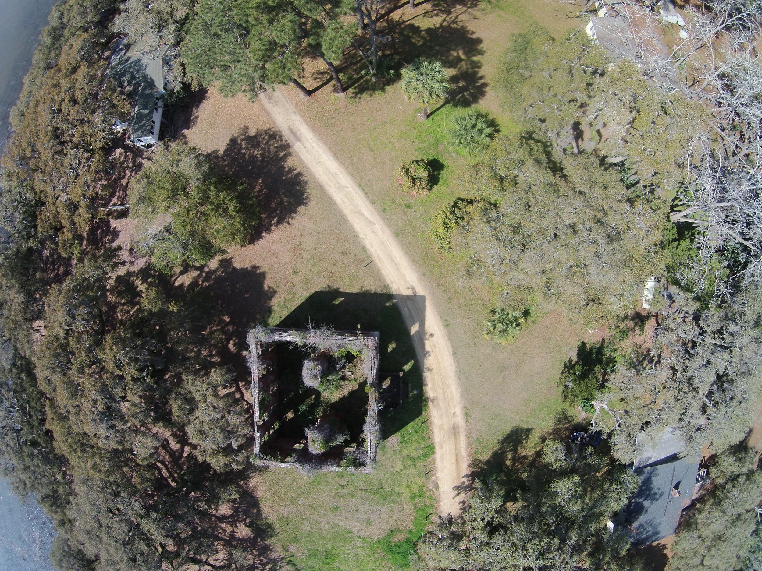
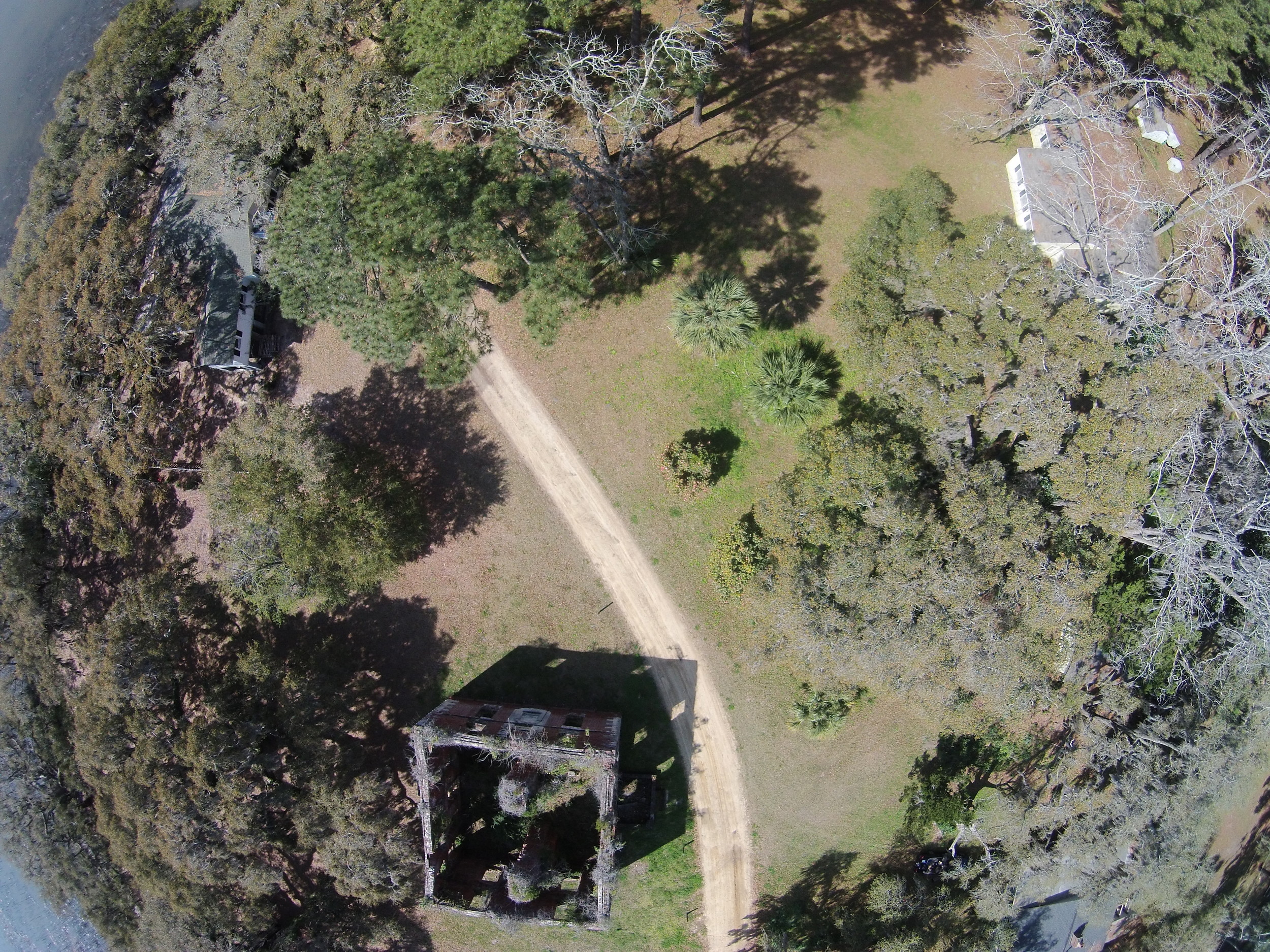
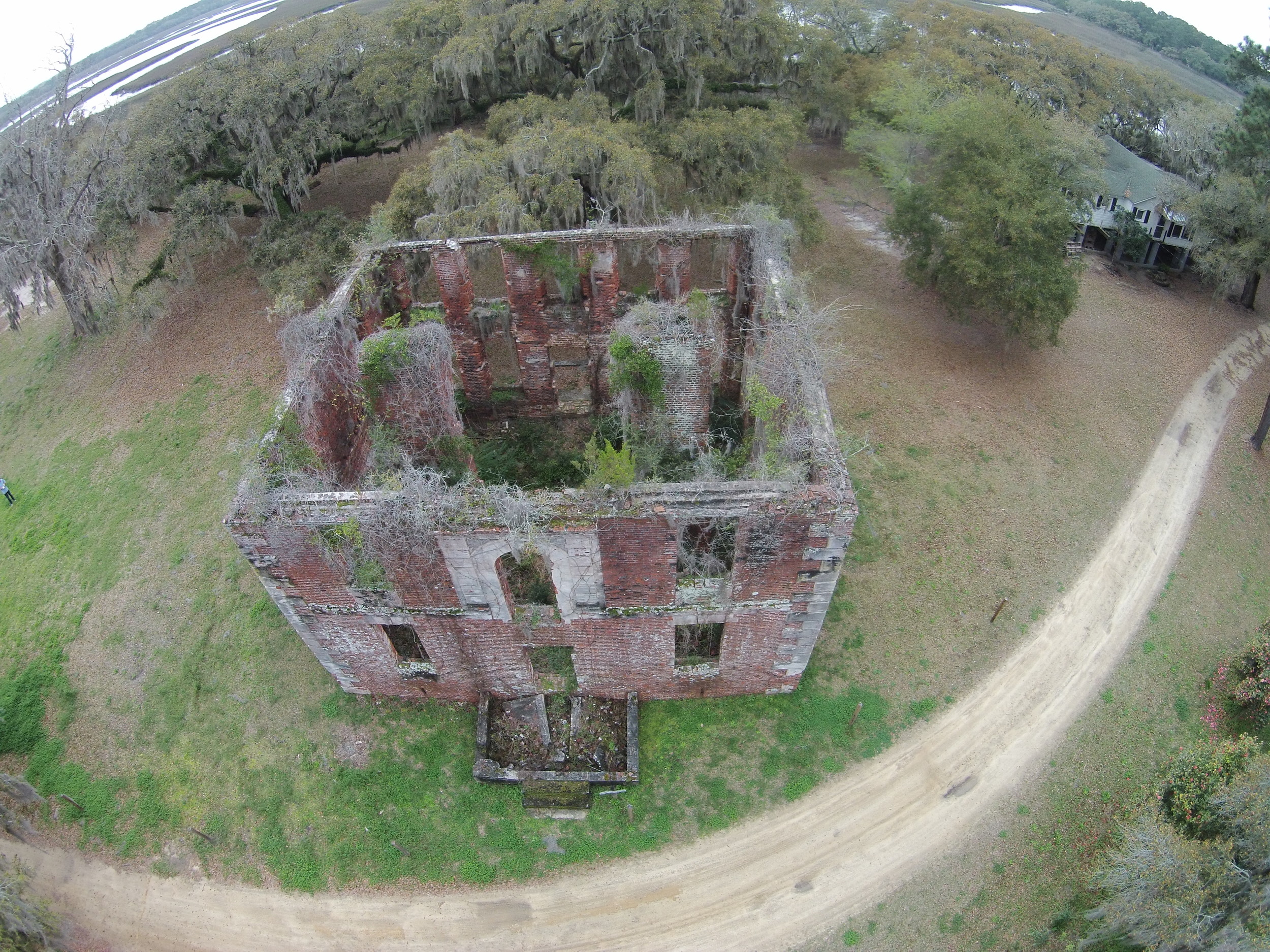
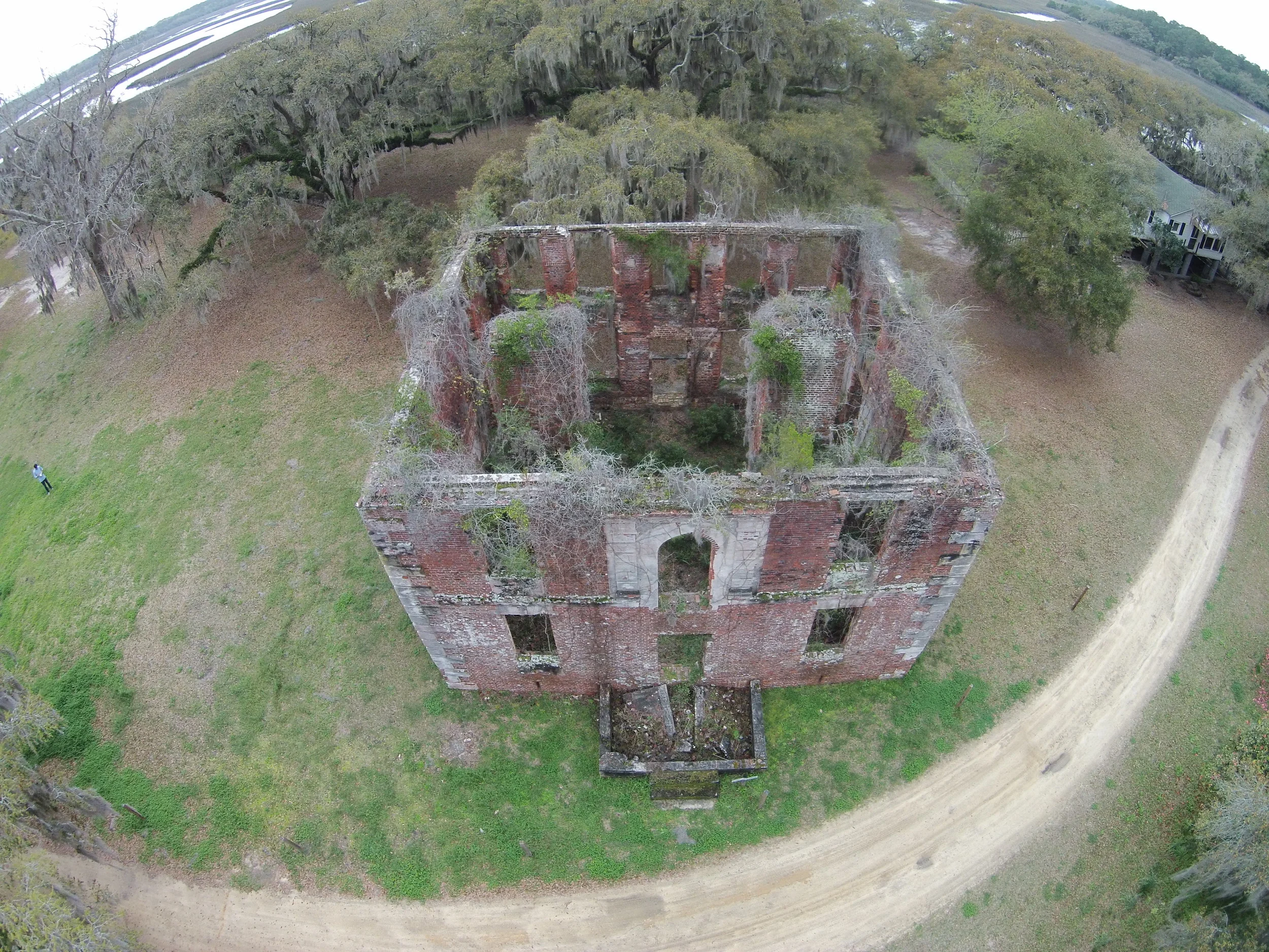
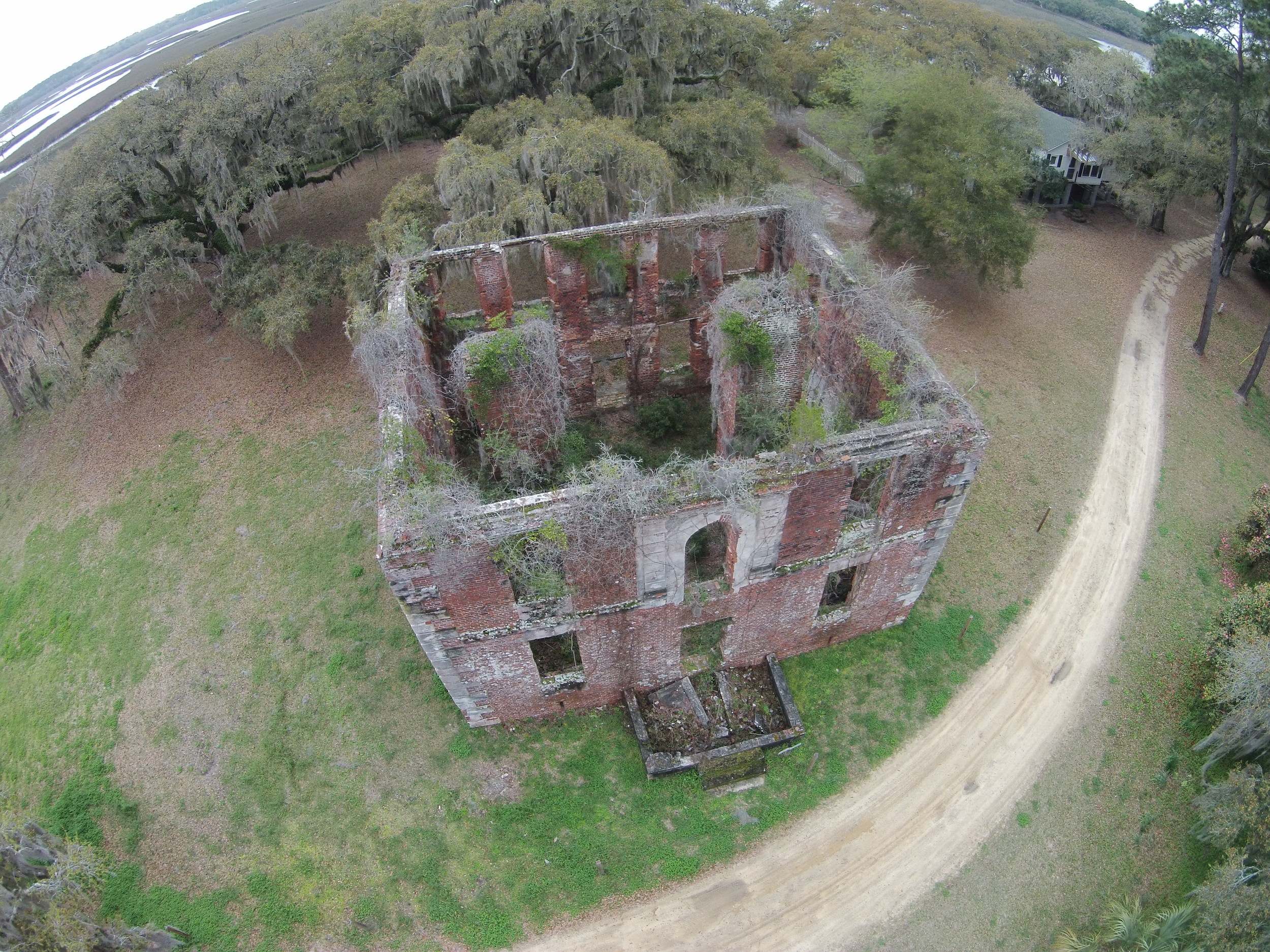
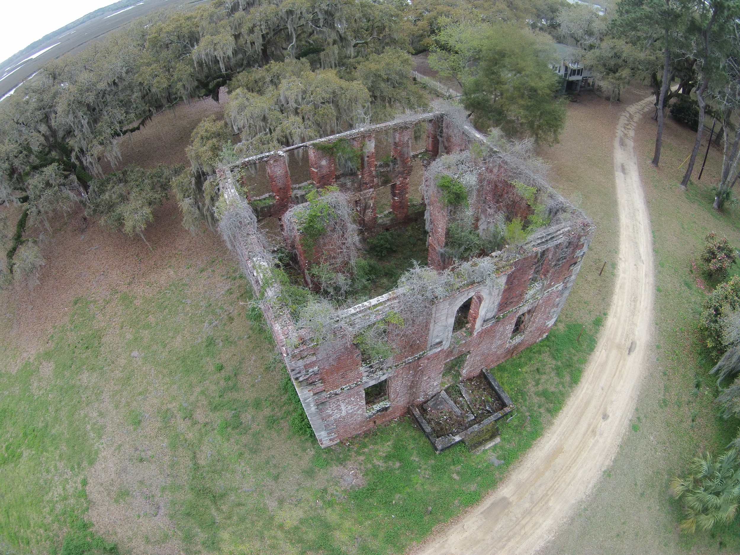
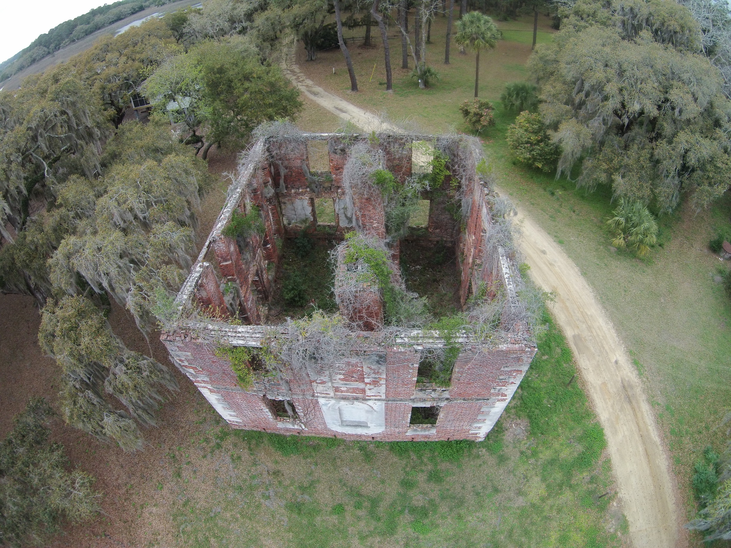
Aerial Nadir - The camera is mounted to an aircraft and is pointed vertically towards the ground. Dozens of overlapping photos are taken as the aircraft flies along a predetermined flight path. Here, the Abovit team flew 2 separate flight paths which produced nearly 1/4 of all the calibrated images in the project. GPS points are also recorded during this stage to create reference points called Ground Control Points (GCPs), which are used to give the model scale.

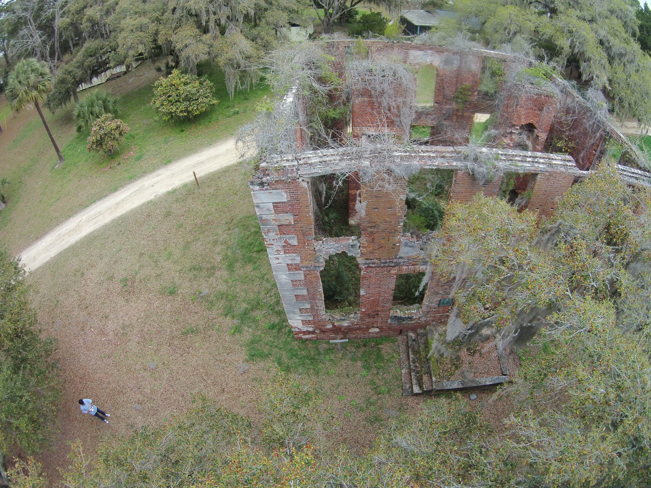
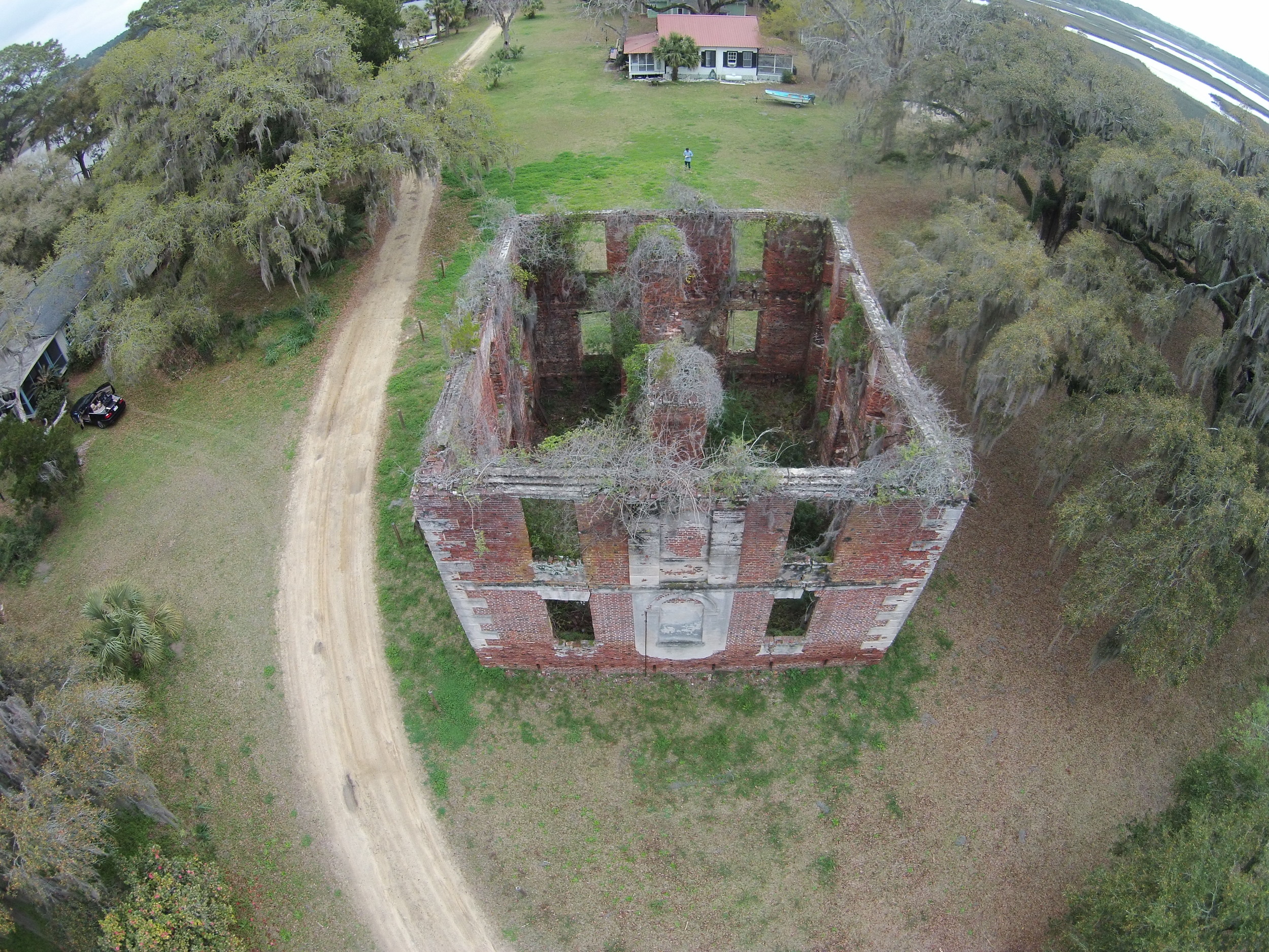
Aerial Oblique - The camera is also mounted to an aircraft, the only difference is now photographs are taken at an angle. Here, we captured the images by positioning the aircraft manually, making sure that we had more than 60% overlap between each image in sequence.
Terrestrial - The camera is close to the subject and is typically hand-held or on a tripod. Here we used this technique to model the interior and exterior up close in order to give finer detail and texture to the final mesh.